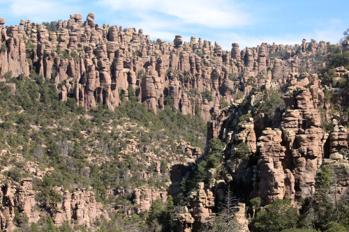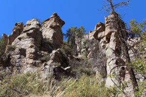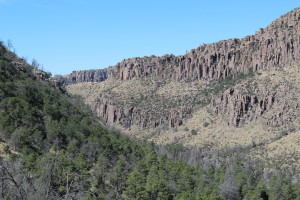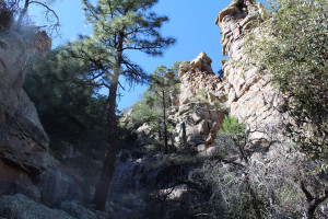
A sea of green trees fill the valley, jagged pillars of rock pierce the crystal blue sky, and the sun reflects off tiny glass fragments embedded within the fossilized volcanic ash.
Hidden away 34 miles southeast of Willcox is Chiricahua National Monument, a wonderland of balancing rocks that could become the nation’s next national park.
Recently, members of the Sierra Vista Tourism Commission voted unanimously to designate the Chiricahua Mountains’ area as a national park to help strengthen the economy, boost tourism and attract businesses to southeastern Arizona. Visitors to the state spent an estimated $837 million in local regions while visiting Arizona’s three national parks in 2014, according to the National Park Service.
“More people visit national parks because there is more name recognition,” said Suzanne Moody, a Chiricahua park ranger. “They don’t always know about the monuments.”
In 1992, Saguaro National Monument in Tucson became Arizona’s third national park, joining the Grand Canyon and the Petrified Forest. An act of Congress is required for a national parks designation, unlike national monuments which are created through presidential proclamations.
U.S. Rep. Martha McSally, R-Ariz., said she plans to introduce legislation this year to designate the Chiricahua area as a national park.

The last national park approved by Congress was the Pinnacles in 2013. Located in California’s Salinas Valley, 80 miles southeast of San Jose, the Pinnacles was originally designated as a national monument.
According to Bob Gent, member of the Sierra Vista Tourism Commission, there would be little expense to change Chiricahua to a national park, especially since the monument is already staffed by the National Park Service.
“In short, the potential benefits are significant, and the cost is zero,” wrote Gent, in a letter to Sen. John McCain, R-Ariz. “This is a rare opportunity where everyone wins.”
A volcanic explosion formed Chiricahua’s jagged rock formations and balancing rocks more than 27 million years ago. The rhyolite tuff that covers much of the rocks is what remains of the fossilized ash from the eruption. Sedimentary rocks and glass, created by the eruption, give the rocks their colorful appearance.

“People want to visit because of its unique geology, balancing rocks and pinnacles,” Moody said.
In 1924, the monument was established to protect the rare hoodoos and balancing rock structures that dominate this unique landscape.
Hoodoos are long skinny rock formations that are formed through erosion by water and wind.
Inside the monument, an 8-mile scenic drive leads visitors to the center of the rock formations. For the full experience, however, it is recommended that visitors hike the 3.7 mile trail from the visitor center to the Heart of Rocks, where the most unique rock formations occur.
Visitors who choose this route start with an easy forest level hike. Quickly, the scenery changes as they ascend almost 900 feet on the rocky mountain trail into the center of this geological marvel.
As visitors climb higher, the rock formations become more numerous, until they are completely surrounded by a wonderland of balancing rocks and pillars.

In 2015, more than 56,000 people visited the national monument, which has numerous hiking trails and allows camping at the Bonita Canyon Campground.
March and April are the busiest months for camping.
The campground and scenic drive are closed while undergoing renovations. Visitors must hike the 7.3 mile round-trip trail if they want to view the rock formations at the heart of the monument.
Renovations of the road should be finished in early March, according to park rangers.
Nicholas Cada is a reporter for Arizona Sonora News, a service from the School of Journalism with the University of Arizona. Contact him at [email protected].

